 topoly
Mountains you love, made into art.
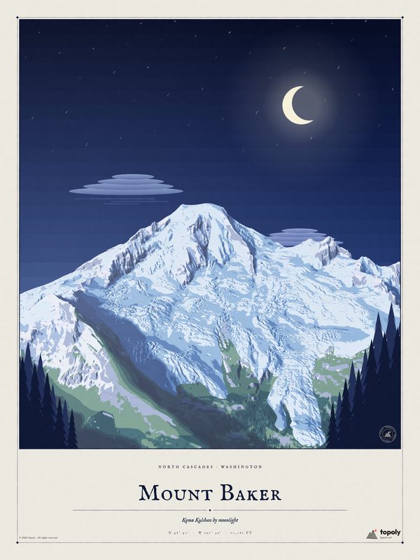
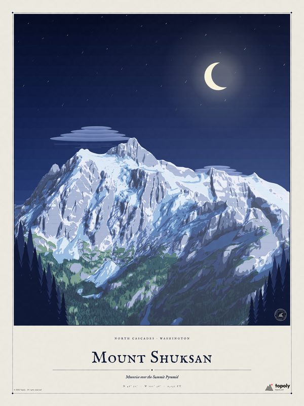
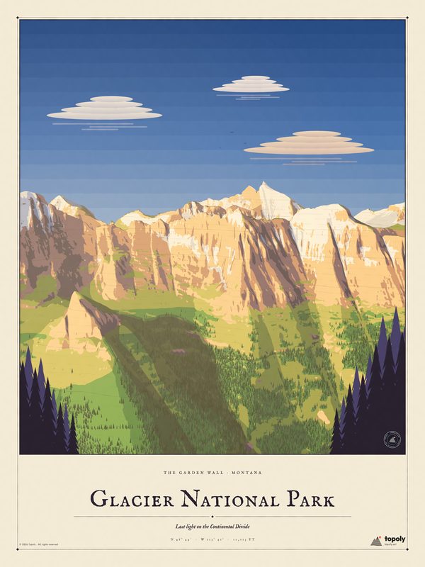
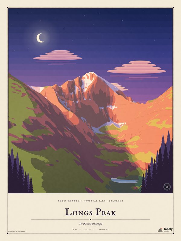
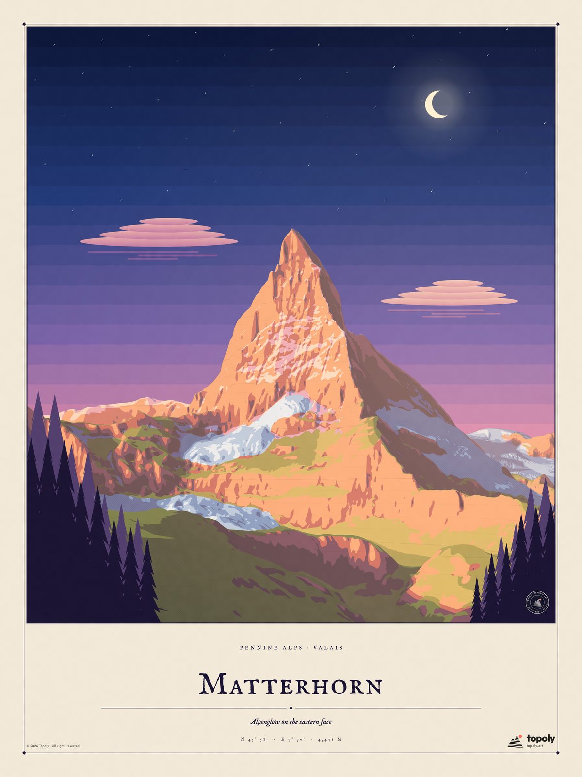
Painted-style posters of the world's great peaks, each one drawn from real elevation data and lit like a vintage travel poster.
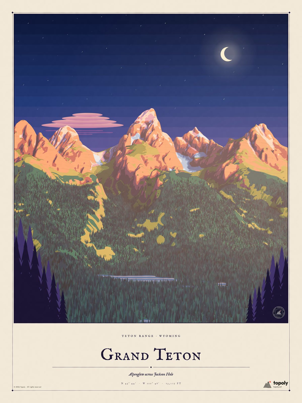
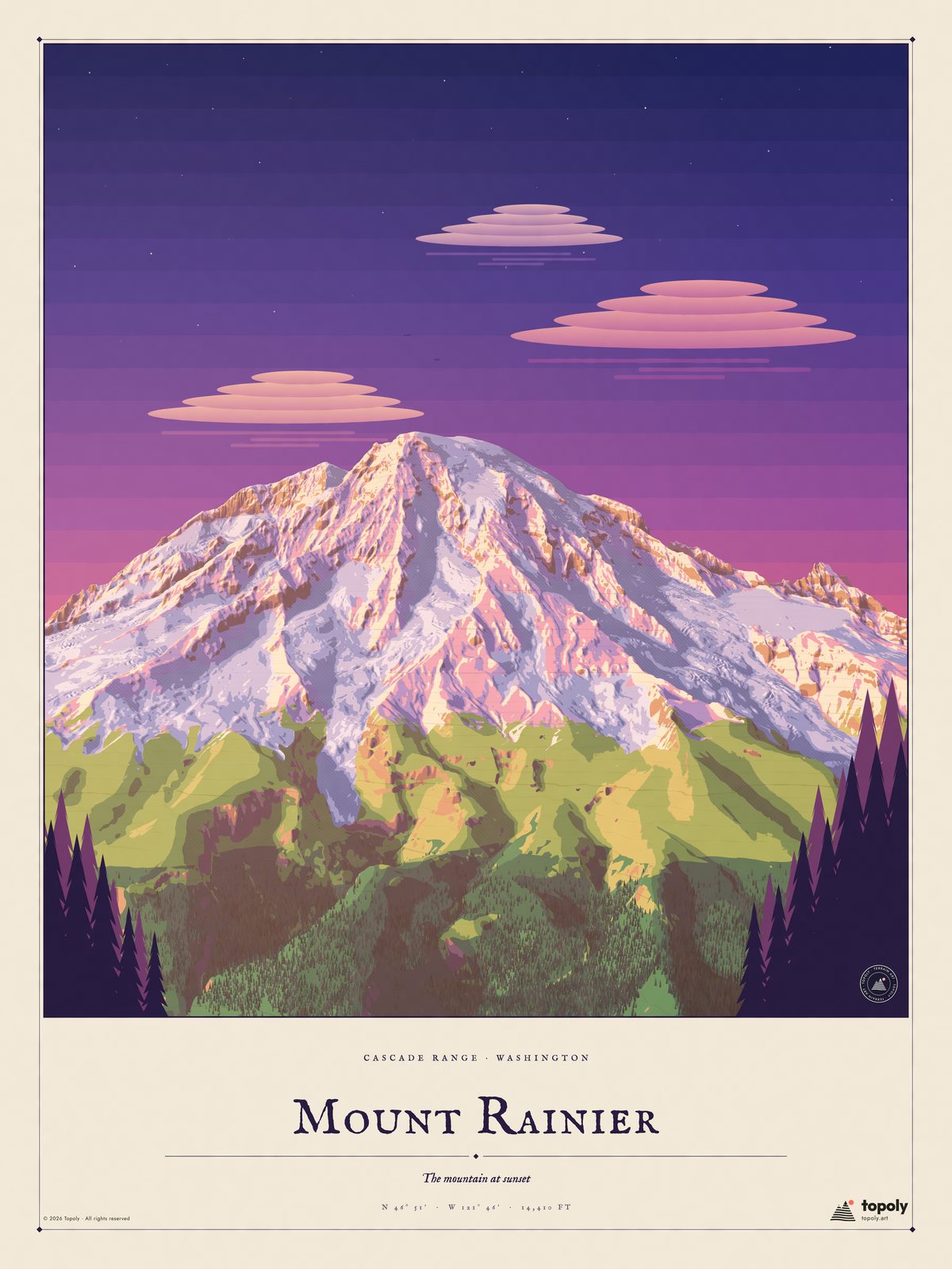
Ten mountains, two sizes
12 × 16 in for $32.95 or 18 × 24 in for $39.95. Shipping is free in the US.
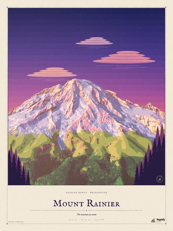
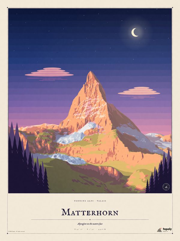
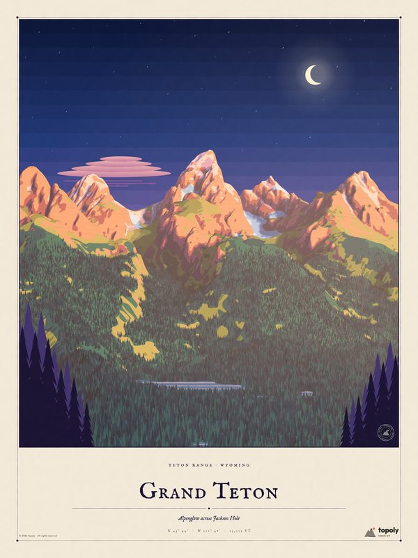
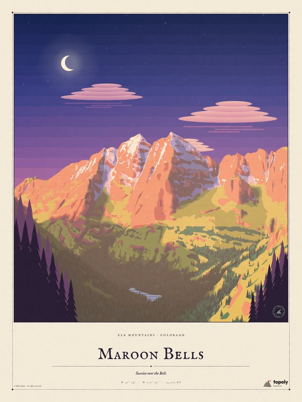
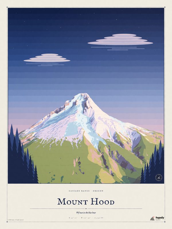
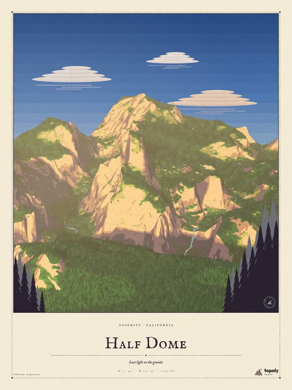
Real terrain
Every ridge and valley comes from public elevation surveys, so the shape on your wall is the real mountain.
Gallery-grade print
Printed on thick enhanced matte paper that keeps colours rich and glare-free, then rolled and shipped in a tube.
Made for gifting
Add an optional line with names, a date or a summit day, and it's printed under the title.
Terrain, made into art.
Topoly started with a simple idea: the shapes hidden in a topographic survey are beautiful on their own. Each poster begins as a real elevation model of the mountain. We light it, paint it in the spirit of classic national-park travel posters and set it on a cream border with the peak's name and height.
No AI generation, no traced photos. Just the mountain, rendered with care.
Find your mountainQuestions
How big are the posters?
Two sizes: 12 × 16 in and 18 × 24 in, both a 3:4 portrait shape that fits standard ready-made frames of the same size.
Are they framed?
No. Posters ship unframed, rolled in a sturdy tube. Frames in photos are for display only.
When will my order arrive?
Each poster is printed to order, usually within 2 to 5 business days, then takes about 3 to 7 days in transit in the US. You get a tracking link by email when it ships.
Do you ship outside the US?
Not from this site yet. For now we ship to US addresses only.
Can I personalize a poster?
Yes. At checkout there's an optional box for a short line (up to 40 characters, like names and a date). We set it in small type under the title, then send it to print. Personalized orders take a day or two longer.
What if it arrives damaged?
Email a photo to hello@topoly.art within 30 days and we'll send a free replacement. Because every print is made to order, we don't accept returns for change of mind.
Is this AI art?
No. Every scene is rendered with our own code from real elevation data, then composed like a classic travel poster.